Sample map · Scenic byways and driving tours
Heron Ridge Scenic Byway
Fifteen ordered stops joined by a route line, with mileage between stops and a printable list.
Loading the interactive map...
From a PDF to this.
A folded PDF with the route as a thin red line, stops hidden behind a numbered legend, and no way to see how far one stop is from the next.
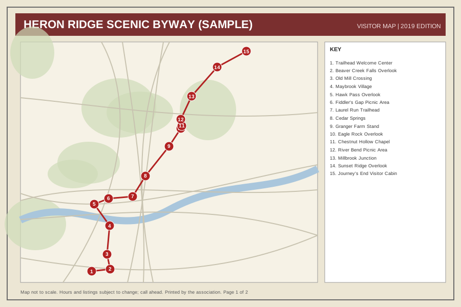
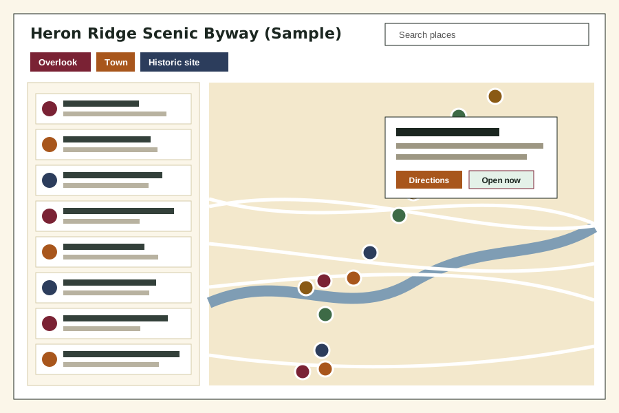 Before: PDF-style mapAfter: interactive map
What this map does.
- Numbered stops in driving order, joined by a route line
- Miles and drive time from the previous stop, plus route totals
- Popups with a description and directions for each stop
- A clean printable list for visitors who still want paper
- Works on a phone in the car, with a plain-text list of every stop
Which plan fits
Year-Round Care
Route order and print-ready PDFs are part of Year-Round Care, and you can send a changed stop any time. Several byways in one map is a Full-Service Care project.
See pricing (draft, starting at)
Your places live in a spreadsheet you own.
We keep it current, and you can edit it yourself any time. For example: Insert a row where the new stop belongs and number it in the "order" column. Miles between stops are typed in the sheet, so you stay in control of them.
This is the start of the sheet behind this map. One row is one place. Staff or businesses can also send us a change:
| title | type | order | lat | lng |
|---|---|---|---|---|
| Trailhead Welcome Center | Trailhead | 1 | 36.1067 | -81.8124 |
| Beaver Creek Falls Overlook | Overlook | 2 | 36.1116 | -81.7624 |
| Old Mill Crossing | Historic site | 3 | 36.1439 | -81.7701 |
| Maybrook Village | Town | 4 | 36.2067 | -81.7628 |
Columns used: title, type, description, address, lat, lng, order, miles_from_previous, drive_minutes, link. Lat and lng are the map position. Try it with your own sheet or read how updates work.
The free preview
Want one like this for your organization?
Send us your current map or list. We will send a private preview within 3 business days, free.
or write to [email protected]