Sample map · Cities, improvement districts and community groups
Community Projects Map
A neighborhood projects map with Planned, Underway and Complete status. In a real project it reads straight from your published Google Sheet.
Loading the interactive map...
From a PDF to this.
A PDF project list on the city site and a separate PDF map, so residents had to match numbers by hand.
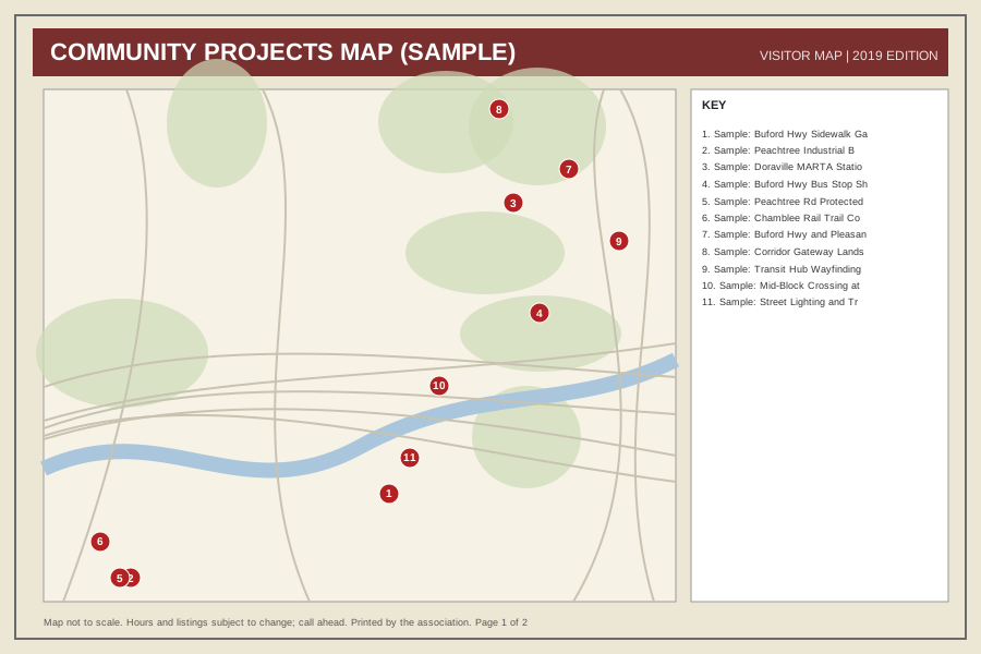
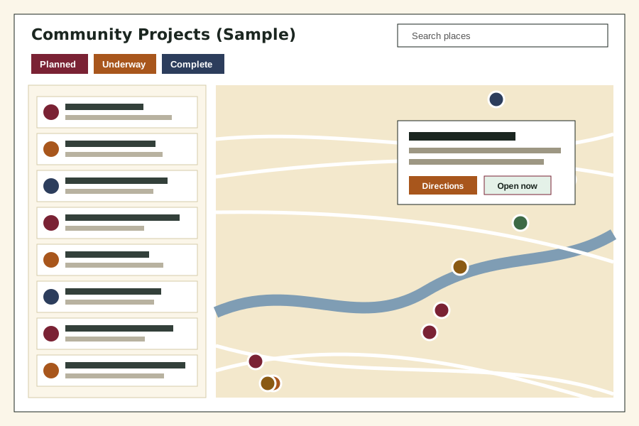 Before: PDF-style mapAfter: interactive map
What this map does.
- Status filter: Planned, Underway, Complete
- Every pin carries a letter (P, U or C) as well as a color, so status is never shown by color alone
- Can read straight from your published Google Sheet
- Project pages link out to your own website
- List view and map always match
Which plan fits
Seasonal Care
Under 40 projects, simple status filters and a couple of refreshes a year: this is what Seasonal Care is for.
See pricing (draft, starting at)
Your places live in a spreadsheet you own.
We keep it current, and you can edit it yourself any time. For example: Change the status cell from Planned to Underway to Complete. The pin changes color on the next refresh.
This is the start of the sheet behind this map. One row is one place. Staff or businesses can also send us a change:
| title | type | status | lat | lng |
|---|---|---|---|---|
| Sample: Buford Hwy Sidewalk Gap Clos... | Sidewalk/Trail | Underway | 33.8905 | -84.2865 |
| Sample: Peachtree Industrial Blvd Cr... | Intersection Safety | Planned | 33.8870 | -84.2995 |
| Sample: Doraville MARTA Station Plaz... | Streetscape | Complete | 33.9026 | -84.2803 |
| Sample: Buford Hwy Bus Stop Shelters | Transit | Underway | 33.8980 | -84.2790 |
Columns used: title, type, status, description, address, lat, lng, image_url, link. Lat and lng are the map position. Try it with your own sheet or read how updates work.
The free preview
Want one like this for your organization?
Send us your current map or list. We will send a private preview within 3 business days, free.
or write to [email protected]